In today’s era of innovative and modern technologies, securing a country’s territorial boundaries requires adaptation.
To that effect, the Nigerian President Muhammadu Buhari has approved the deployment of drones, aircraft and geospatial technology monitoring Nigeria’s borders.
The overall strategy is to negate the need for erecting a physical barrier in the nations borders through the introduction of an e-Customs by the Nigerian Customs Authority.
The E-Customs, will encompasses the deployment of border management technology, which will incorporate the use of drones, aircraft and other geo-spatial technology for the surveillance of the movement of illicit goods and persons.
According to the Nigerian Immigration Service (NIS) Comptroller-General, Mohammed Babandede, who disclosed in Abuja at the joint press briefing, the e-Customs strategy is coming on the heels of the joint operation border patrol code-named ‘EX-SWIFT RESPONSE.
The Ex-SWIFT RESPONSE wad coordinated by the Office of the National Security Adviser (ONSA), comprises the Nigerian Police Force, Nigerian Customs Service (NCS), Nigerian Immigration Service (NIS), the Nigerian Armed Forces and other security agencies to address trans-border security issues.
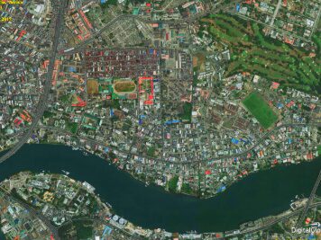
Geospatial technology refers to equipment used to measure and analyze Earth’s land and features. In the geospatial field, systems such as Global Positioning System (GPS) and Geographical Information System (GIS) are used.
The Nigerian Air Force newly established Geospatial Intelligence Data Centre (GIDC) would be used to enhance acquisition, analysis and interpretation of imagery and geospatial information to provide actionable intelligence for the Armed Forces and security agencies.
On 1 December 2014, the Nigerian Minister of Science and Technology, Dr Abdu Bulama, disclosed that the first indigenous Nigerian satellite will be launched by 2018.
